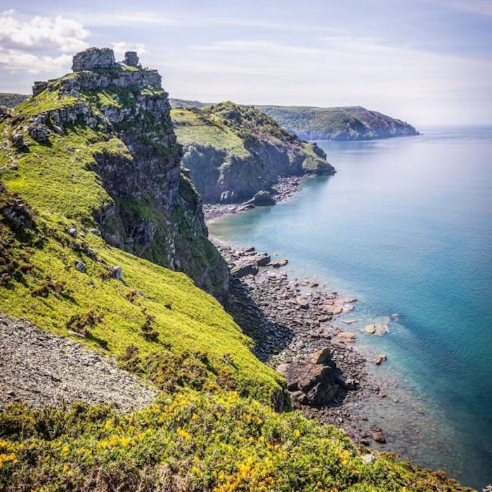
Exmoor National Park - where the moors reach the sea
The south west of England is blessed with three pockets of moorland - the two largest being Dartmoor and Exmoor. Exmoor, in West Somerset and North Devon, is particularly scenic, as it runs down to the cliff-ringed coast of the Bristol Channel and has some delightful fishing villages within it.
Whilst the wilder Dartmoor suits the more intrepid traveller - happy to face poor weather, isolation, spectral Hounds, escaped convicts and the like - Exmoor is a more an ice-cream, cream tea and sea paddle experience. The South West Coast Path runs through it, offering walkers many spectacular views from the rugged coastline, before dipping down to one of the attractive coastal villages or remote inns for afternoon tea or dinner. The coastal road, running high over the moors, also offers beautiful views on either side.
Exmoor is named after the River Exe, the source of which is situated in the centre of the area, two miles north-west of Simonsbath. Exmoor was an ancient royal hunting forest, which was officially surveyed in 1815–1818 as being of 18,810 acres in extent. The moor has given its name to a National Park, created in 1954, which includes the Brendon Hills, the East Lyn Valley, the Vale of Porlock and 34 miles of the Bristol Channel coast. The total area of the Exmoor National Park is 267 square miles, of which 71% is in Somerset and 29% in Devon.
The largest settlements are Porlock, Dulverton, Lynton, and Lynmouth. The highest sea cliff on mainland Britain is Great Hangman near Combe Martin at 1,043 ft high. Exmoor ponies roam wild on the moor. They are one of the oldest breeds of pony in the world. There are also red deer here.
The novel Lorna Doone is set on the moor.
Further reading
Links to external websites are not maintained by Bite Sized Britain. They are provided to give users access to additional information. Bite Sized Britain is not responsible for the content of these external websites.
